 Outdoor Destination
Mount Beaven Trail
Example photoOutdoor Destination · Lumby
Free to Visit
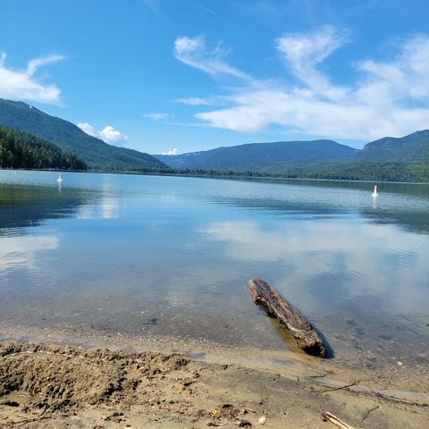
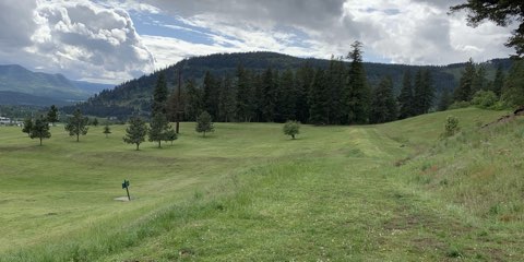
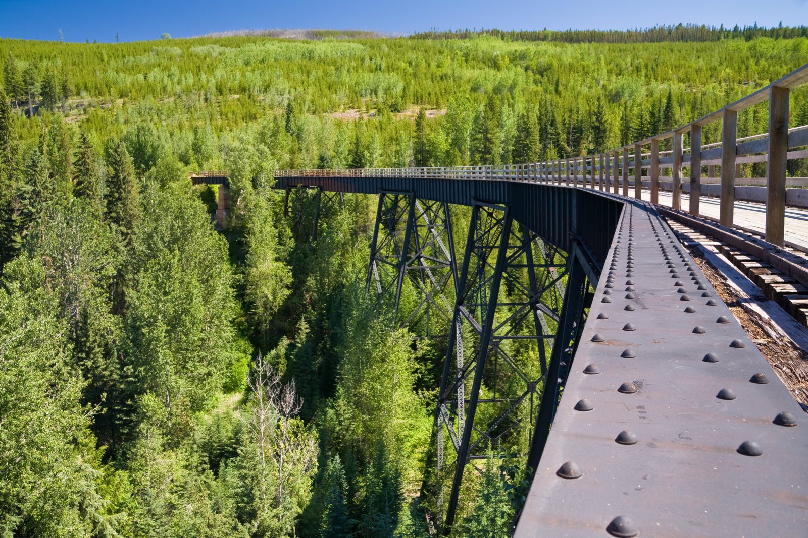
A summit hike to the highest peak at the head of Currie Creek, with a 360-degree view over the Pinnacles, Twin Lakes and Vista Pass valleys, returning through an old burn. It's about 7 km with 700 m of climbing (5 to 6 hours), and the final 300 m of ascent is very steep. Access is up the South Fork Forest Service Road, 1.5 km past the Gold Panner; high-clearance vehicle, July to September. It's in the Monashee backcountry about 65 to 70 km east of Lumby, near Cherryville.
Visitor photos & tips
Been here? Share a photo or a tip for other visitors.
Check your email. Click the link to send your photo/tip for review.
Other outdoor destinations in Lumby



More to explore near Lumby